Blue Ridge Parkway
We were rushing out of work at noon for an eleven-hour drive to Cherokee, North Carolina, to arrive just before three. After arriving and driving through the night, rest was needed, so a decision was made to sleep in the first night. Yet we still awoke at eight-thirty the following morning to begin our adventure onto the “Blue Ridge Parkway,” or so we thought. Stopping first at the Oconoluftee visitor center to pick up a few souvenirs and view the visitor center. As a photographer, I heard about the possibility of viewing elk grazing in the meadow. The visitor center and the adjacent field provide an excellent opportunity to view grazing elk. Yet it was late in the day, and I wanted to keep moving.
After stopping for a brief moment, maybe it was the excitement of finally being here or still waking up from the drive the night before we turned onto what we thought was the parkway; it wasn’t, however; it was a scenic drive through the Smokey mountains. Newfound Gap Road (Highway 441) Suppose that happens when you rely on cell service and GPS. Navigational skills become non-existent. Maybe we should have spoken to someone at the visitors center for directions. Having driven the whole extent of the road before realizing we had to go back through the switchbacks and slow pace of the drive. But it didn’t matter. We were away from the hustle and bustle of the daily nine-to-five. We Must have killed four hours that morning. Back on track and realizing we had now circled back to our lodge that we had stayed the night before to get gas from a nearby station to begin our drive onto the parkway. I'm being extra observant of the signs now. There was a quick right turn before the visitor center that we had missed before.
Mountain farm house museum at the Oconaluftee Visitors Center
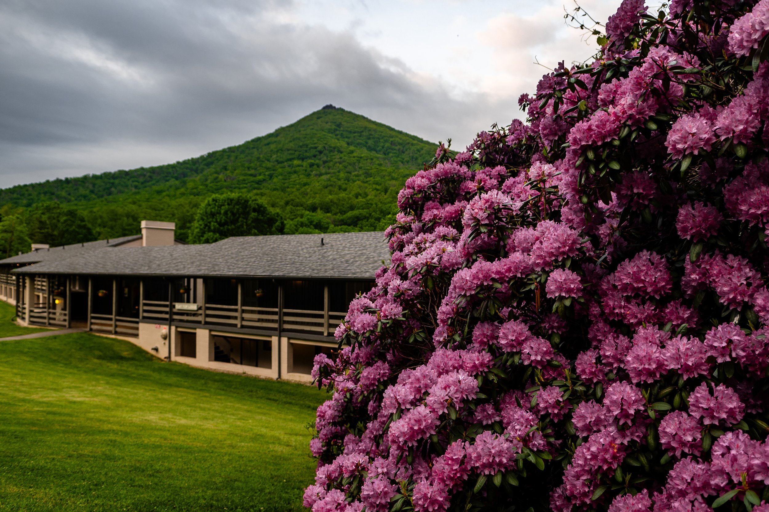
The day quickly became whiteout conditions, and the views from the overlook were non-existent. Once we had reached Richland Balsam overlook mile marker 431.4, the decision was made that we would have to stop, airing on the side of caution. Pulling in at Mount Pisgah mile marker 408.6 to stop for lunch and weigh our options, we decided to call it a night crashing at Mount Pisgah. Unaware of the road ahead but also where we would spend the night. Rooms were available, and there were options for food. Both dinner and breakfast the following day. How could we say no? We had dinner, the view dismal as the fog hadn’t passed. Fish and chips with a local brew, the girlfriend decided on a staple, their Pisgah pasta, of course adding grilled shrimp. White table cloth setting, the waiter’s service was exceptional. Returning to our room, we awoke refreshed and were greeted with a fantastic sunrise from our balcony. We would later have breakfast, myself settling for warm blueberry muffins; my company has a traditional breakfast of home fries and an omelet. The view from the dining room was incredible as the fog had finally cleared. Eastern towhees and chip monks were all around. Now full from breakfast and clear skies, we continued North.
Continuing North, our next stop was the folk art center, mile marker 382, which showcases the finest in traditional and contemporary craft of the Southern Appalachians. Having Wheaton Arts close by from where we’re from it was a necessary stop as it reminded us a lot of that. We spent some time there viewing the numerous exhibits and art galleries on display. The afternoon was approaching quickly, and we began weighing our options for lunch. Leaving the art center, driving further north, we stumbled upon Craggy Gardens picnic area, mile marker 367.6. and later would move to their visitor center.
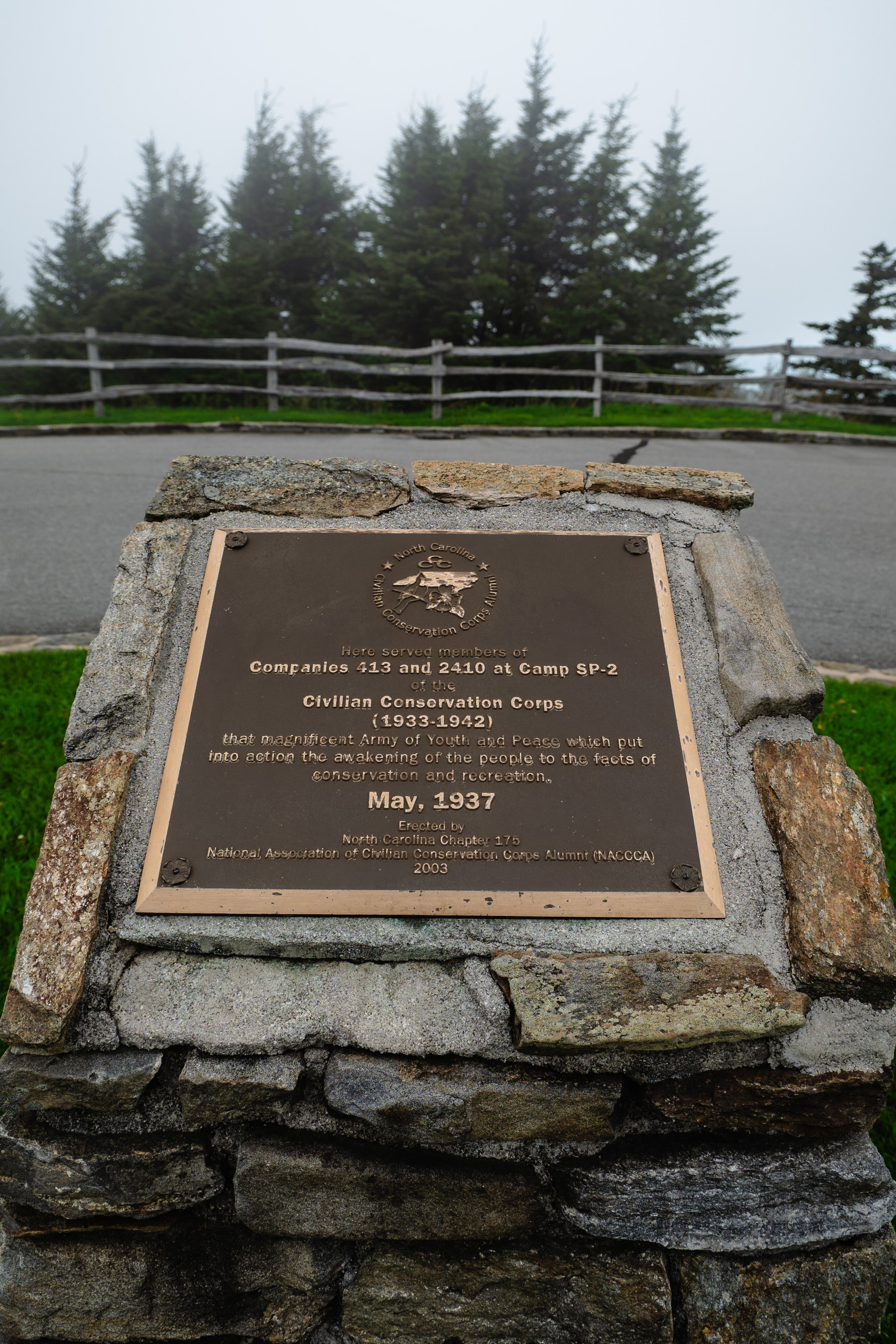
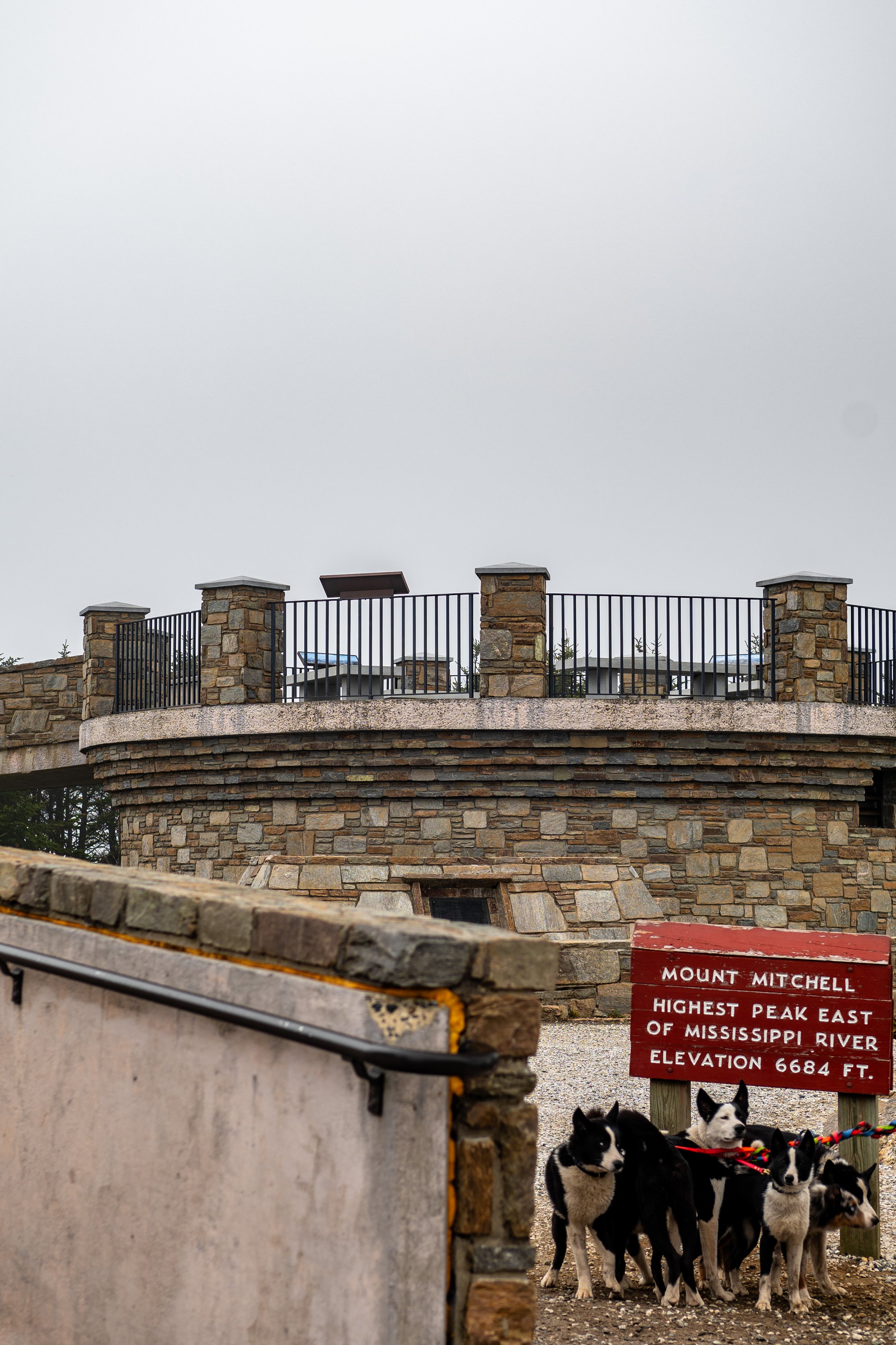
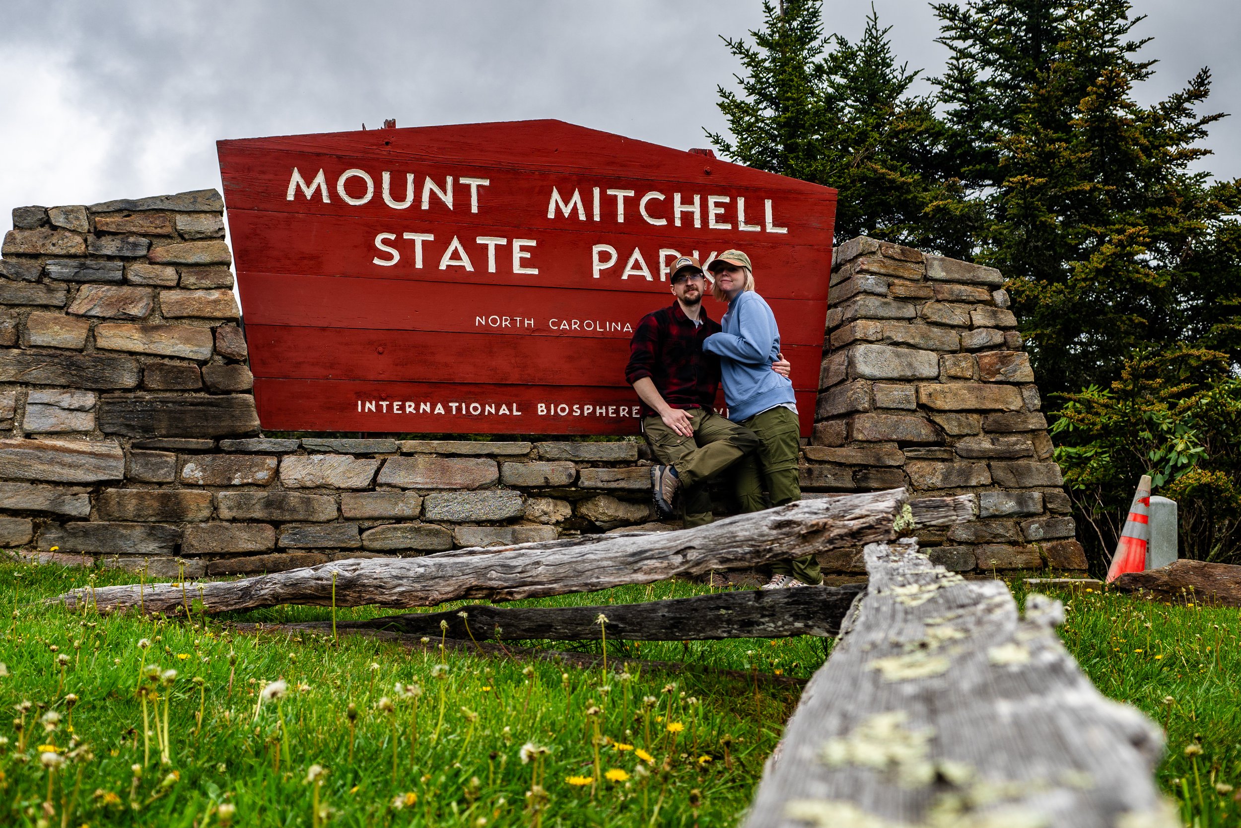
After refueling on sandwiches and a mountain house meal, we checked our itinerary and noticed that Mount Mitchell was close by mile marker 355.4. Having researched it before the trip, we considered it a highlight stop of ours; however, we hadn’t had much luck on the trip, and to no surprise, the fog rolled back in, and visibility became nonexistent. We still chose to do the summit trail hike, which was a considerably short trail of just a quarter mile, yet while short, it was steep.
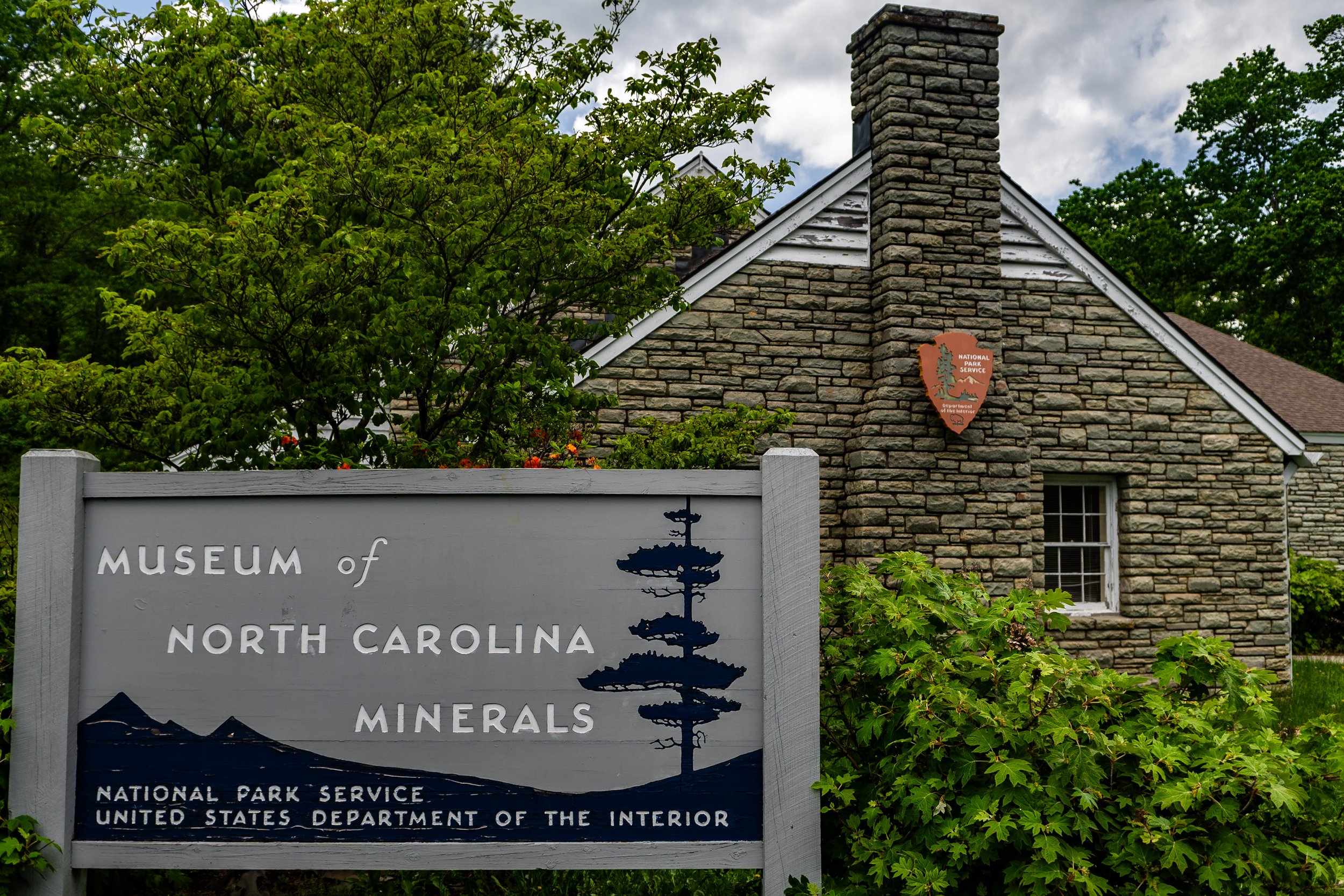
Our second day was spent with great haste, trying to make up for the time we had lost during our first day. The realization of just how long and how much there is to do on the Blue Ridge now settles in and covers 469 miles with an average completion time of just under twelve hours to drive south to north. That does not account for stops and sightseeing, though. After Mount Mitchell, it was onwards to the Museum of North Carolina Minerals, mile marker 331. There, we learned about North Carolina’s rich mining history. It’d be a great attraction for kids as there were interactive exhibits that let you explore the creation of the Blue Ridge Mountains. Now, off the parkway, which conveniently placed us along a highway, we refueled at a local gas station and found a Walmart down the road. There, we decided to replenish our rations. Clean and maintain the truck, which we considered our home for the week. After taking a moment to re-organize our vehicle and perform a maintenance check, it was back onto the drive; ominous clouds rolled in, yet we were set on camping at Linville Falls for the night—mile marker 316. Yet, since we hadn’t progressed as far as we had the first night, we decided to make further progress North on the parkway. We were opting instead to have dinner at the Linville picnic grounds. It was around 4:30 pm. After stopping for dinner burgers, we picked up at Walmart and cooked on the camp stove on the truck bed. We surveyed the campgrounds and imagined ourselves staying there; however, being behind and the impending storms, we decided against it rather pushing further north.
We were quickly approaching another highlight spot along the Parkway. The Linn cove Viaduct Mile marker 304. You've seen those postcards of the Parkway. Most likely, they were from the viaduct during the fall. I had wanted to replicate that shot and heard of a trail that takes you to that spot. So we progressed on the Tanawha trail, a considerable hike of 13.5 miles. Which I don't believe I knew at the time. I was envisioning that shot. Stopping at the observation overlook to marvel at the bridge above. Step rocks, rock stairs, and muddy terrain quickly changed our course of action, realizing how under-prepared we were and how late it had become. The rain from earlier made the hike more treacherous; it was decided the risk wasn't worth the reward of a photo. Now, Backtracking and driving forward, we got a shot of the viaduct from an overlook just up ahead following a dirt path.
An overcast shot of the Linn Cove Viaduct
Overnight accommodations were still unplanned, so we continued onwards, where we later faced a detour off the parkway at Deep Gap mile marker 276. It’s gotten late, and the rain is now relentless. We followed the poorly marked detour along highways, farmland, and towns, only seeing signs 20 minutes from each other. After driving for about an hour in the dark, exhausted from the drive and previous hike, we finally returned to the parkway at mile marker 229, Sparta. The drive now even more treacherous, and wildlife we hadn’t seen before was now everywhere; deer and possum were found all over the road. With high beams, ditch lights, white knuckles, and total concentration, we finally made it to an overlook with service, where we booked a stay at Hampton Inn in Galax, VA. We had planned on camping and then doing luxury afterward, but our trips were unplanned with unforeseen obstacles.
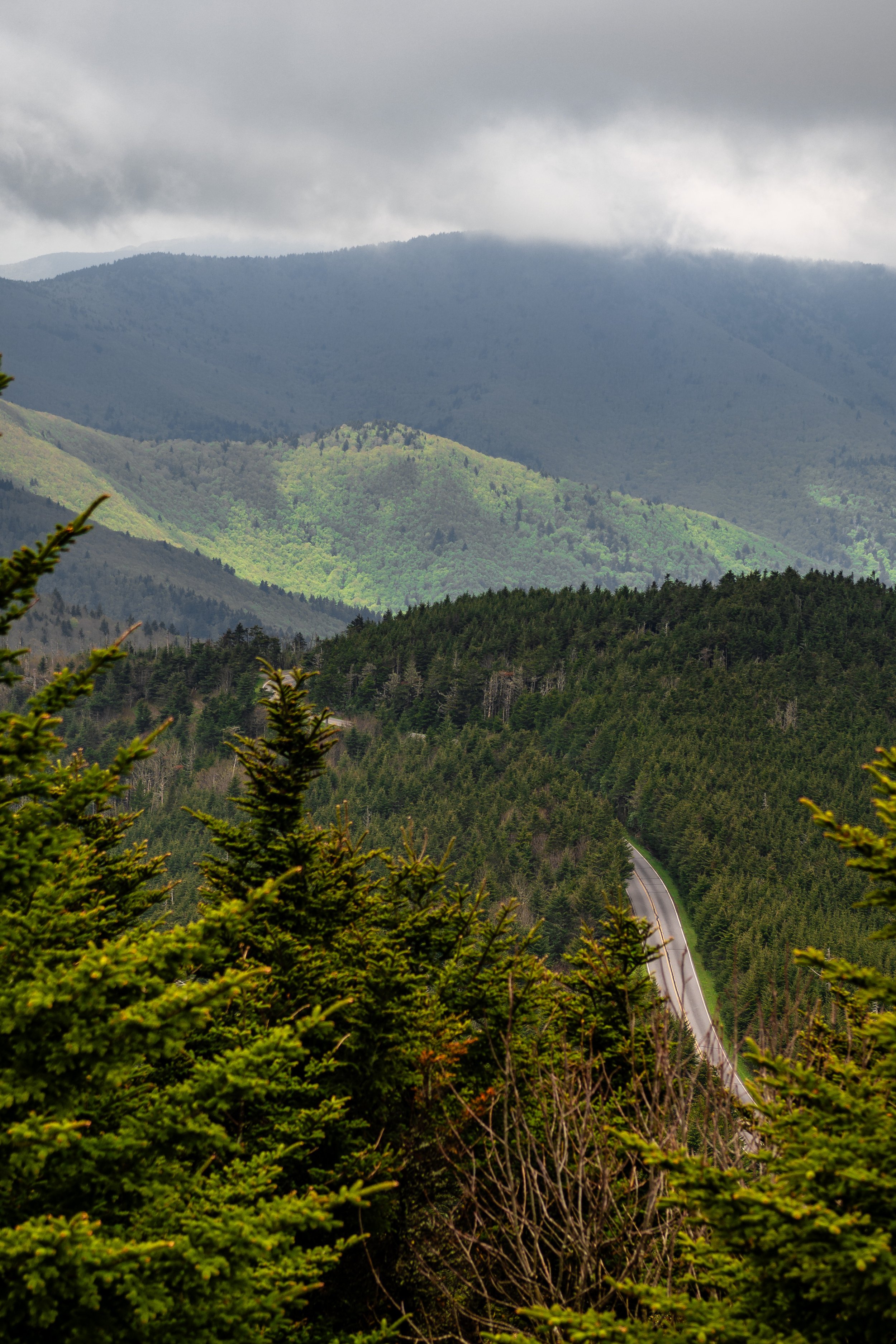
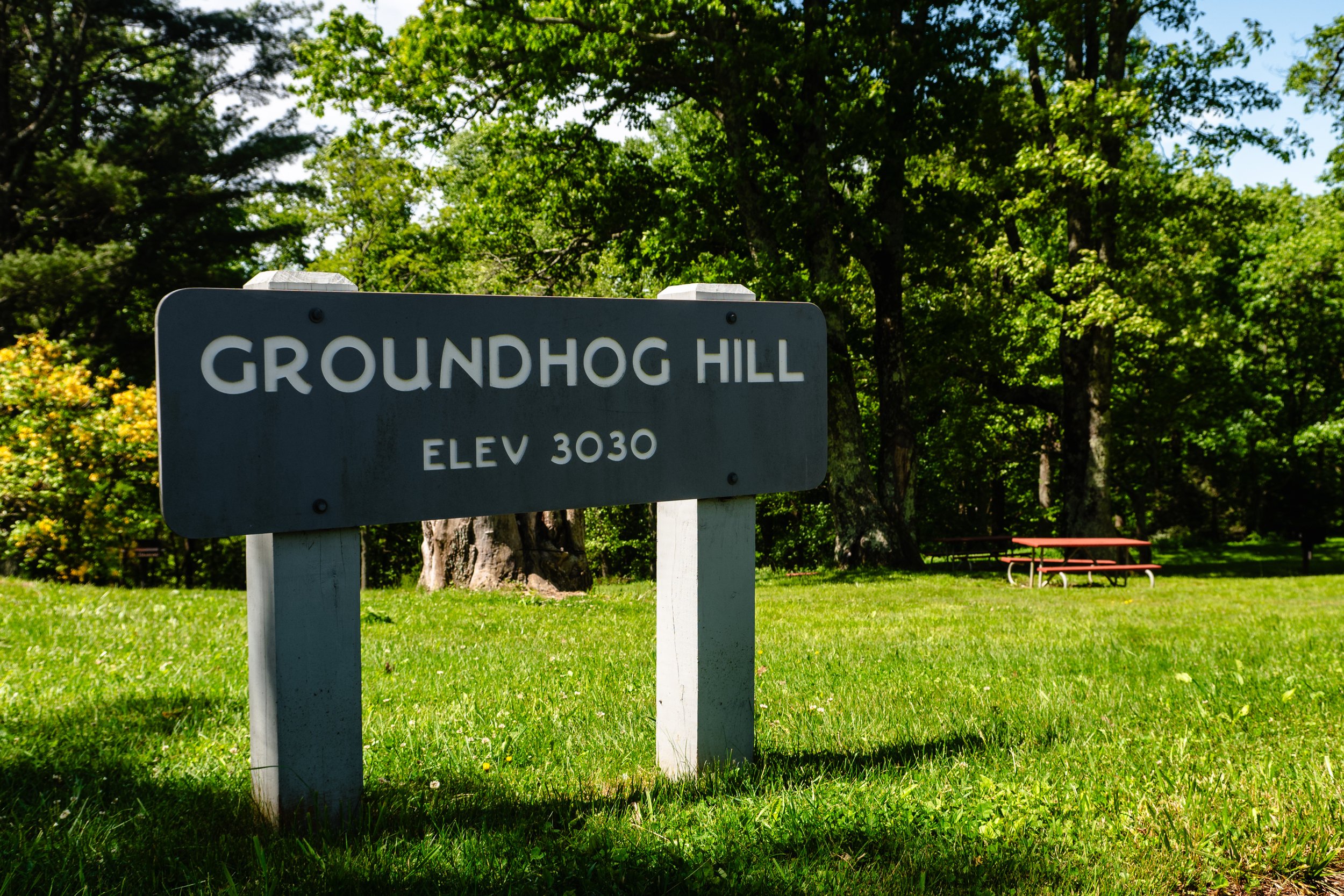
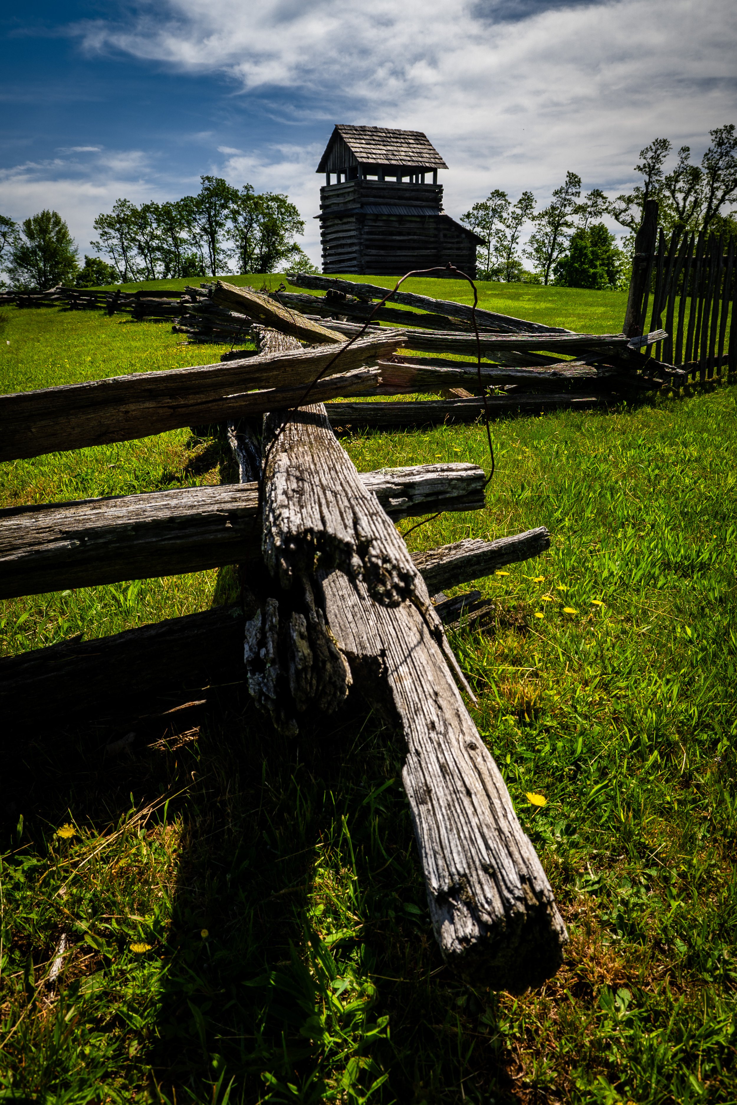
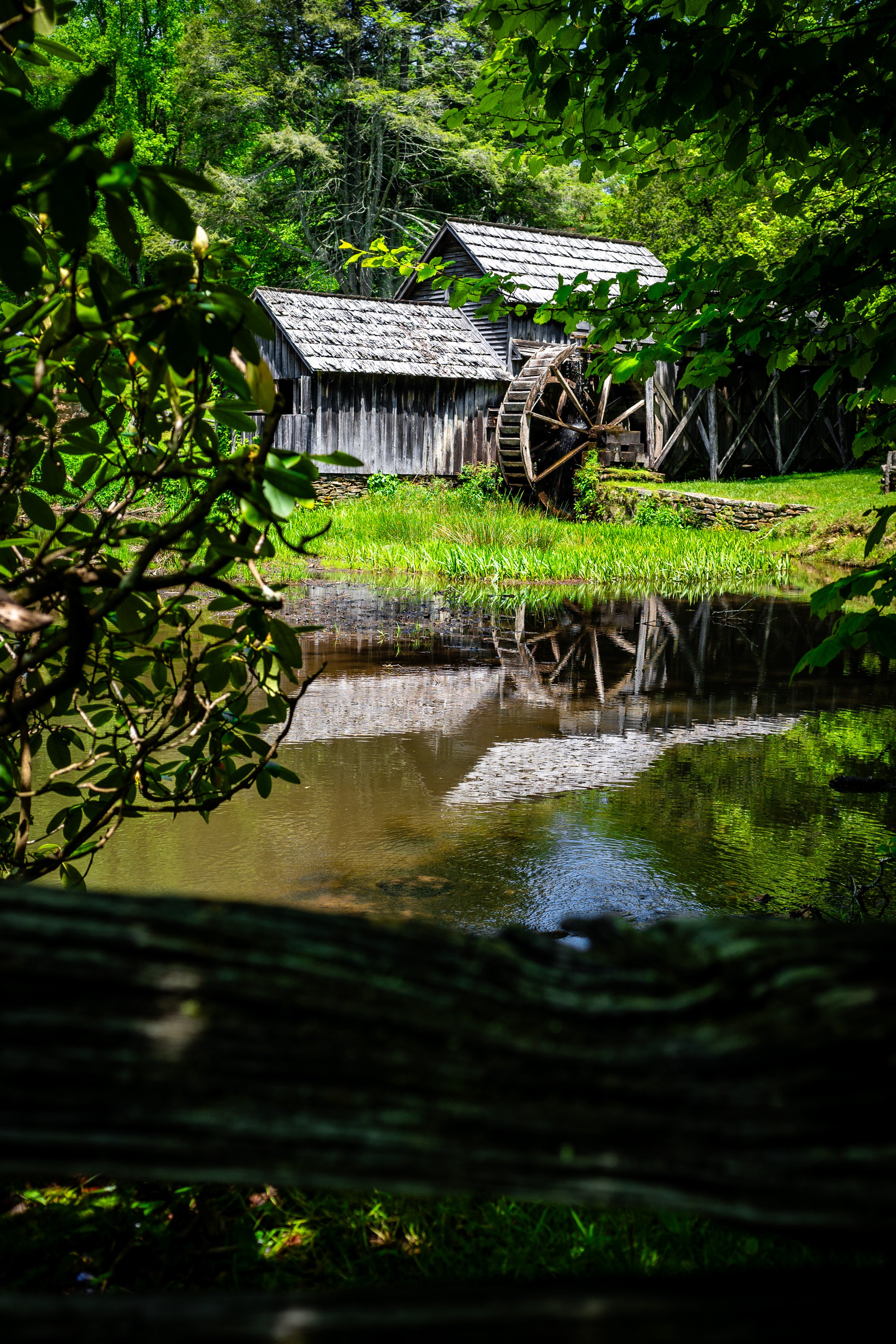
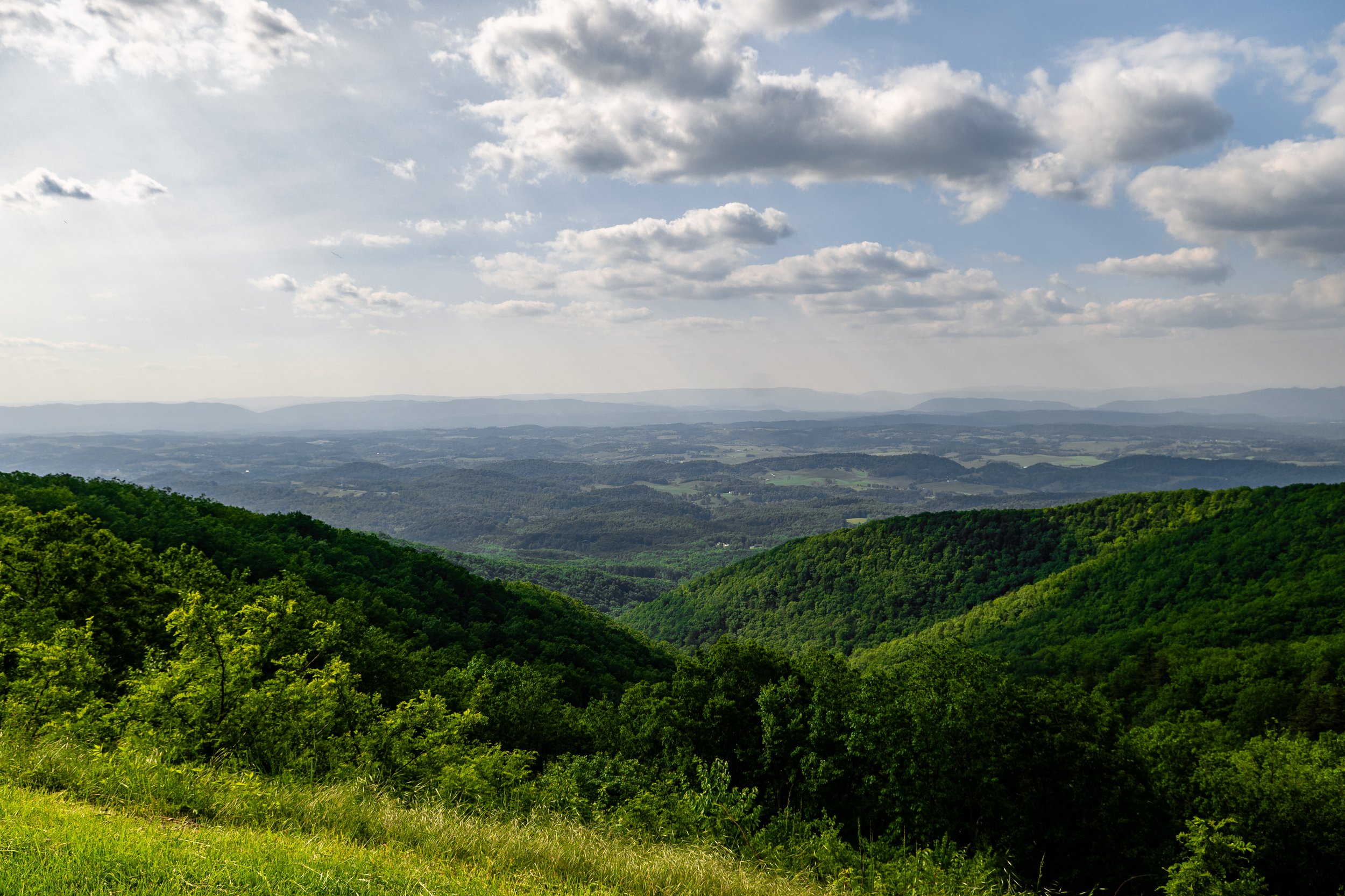
The following day, we awoke to a continental breakfast afterward, a quick stop to Sheetz to fill the tank. It was back on the drive. Our first stop was Groundhog Hill, mile marker 189, to view a watch tower and share a few snacks to prepare for the possibility of any hiking we might do. This region of the drive was mostly farmland and low fields. We took a moment to enjoy the drive and quickly approached another trip highlight—Marby Mill mile marker 176, which fit perfectly within the surrounding landscape. We learned about agriculture and how the Appalachian people lived off the land. It is rich in history and is one of the most iconic and photographed structures on the Blue Ridge Parkway. During our time there, however, the wheel was broken. It appears we could’ve had a nice lunch there, as they have world-famous pancakes and country-style offerings, yet we had settled for breakfast back at the hotel and were still full from it. We took the drive slowly after that and just enjoyed it. The weather cleared, and after passing the lowlands, we were finally rewarded with those iconic Blue Ridge Parkway shots. We were now stopping at overlooks to pause and enjoy the views. The mountain face dropped straight down, and the surrounding landscape seemed to go on endlessly. The mountains roll from left to right along the horizon. Marveling at the splendor that is the Blue Ridge Parkway, a drive providing so much, we stopped at one of the picnic areas for lunch.
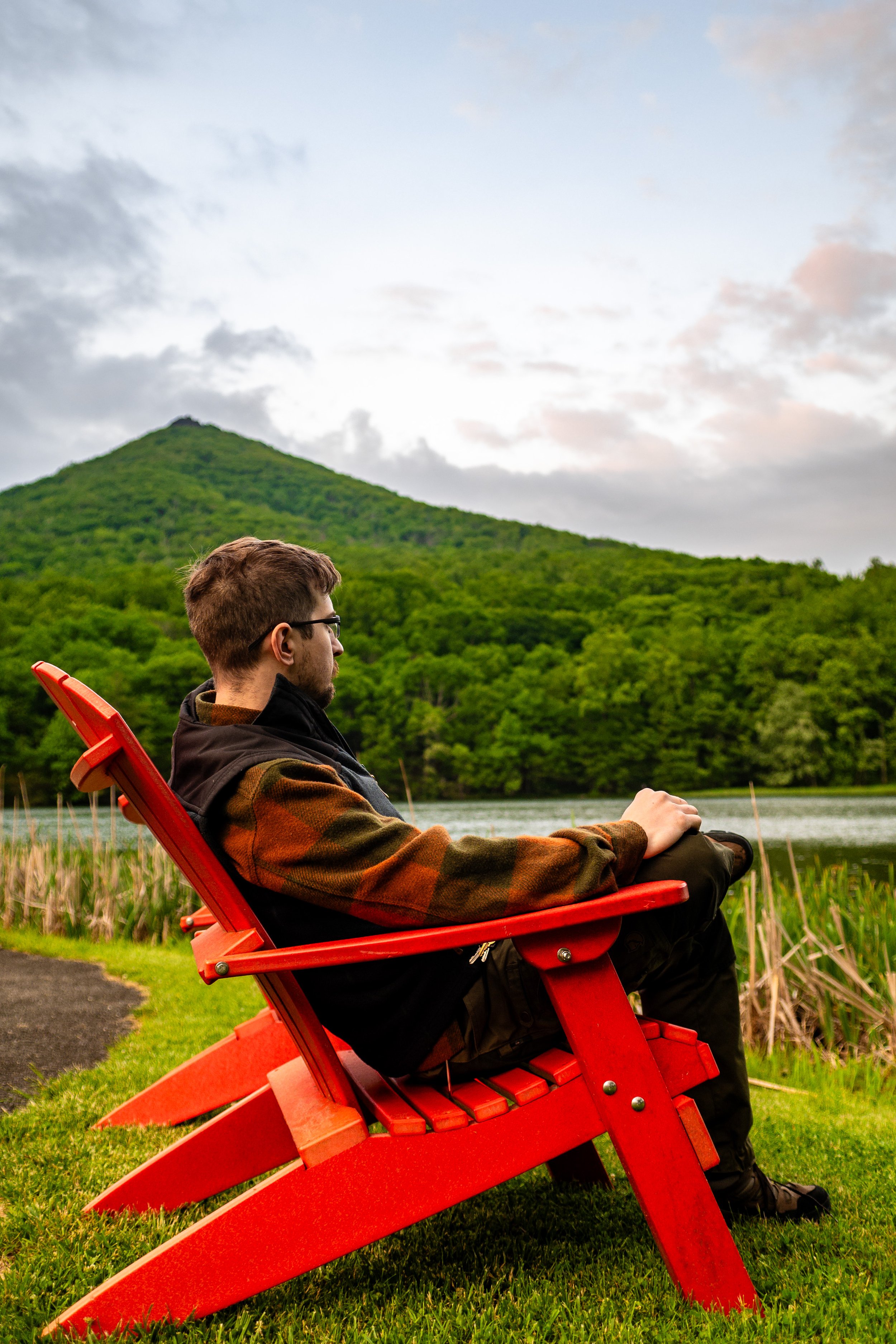
Lunch was Egg Mcmuffins made off the back of the truck bed. One thing to note about the picnic grounds is that we didn’t see too many people at those. The grounds seemed empty and provided a peaceful retreat. The silence, the sounds of nature surrounding us. We decided that since we did Mt Pisgah, we had to stay at the Blue Ridge Parkways other lodge. Peaks of Otter. Mile marker 86. It was another unforgettable night—picturesque views from our balcony and an exceptional dinner. I opted for their Trailblazer burger while she got the lobster mac and cheese, and we both shared their bread basket. Returning to the room, I realized we had practically done the drive. I awoke from Peaks to catch an early sunrise, but to no surprise, the haze and fog had followed us. The schedule for the day was busy. We tried to make up for lost time and learn from our previous days.
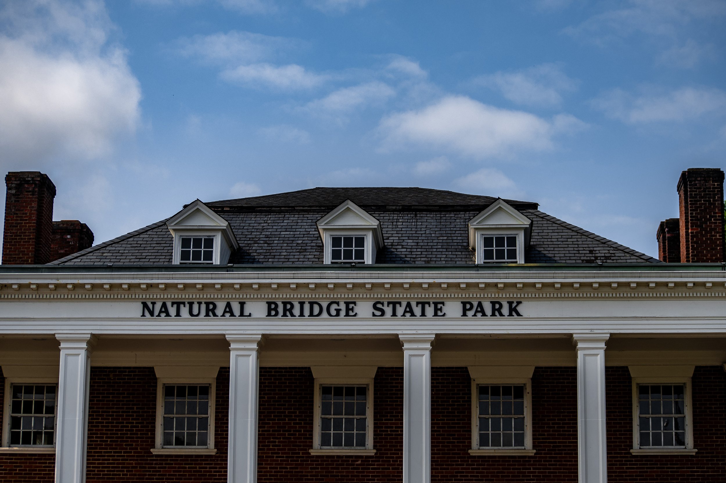
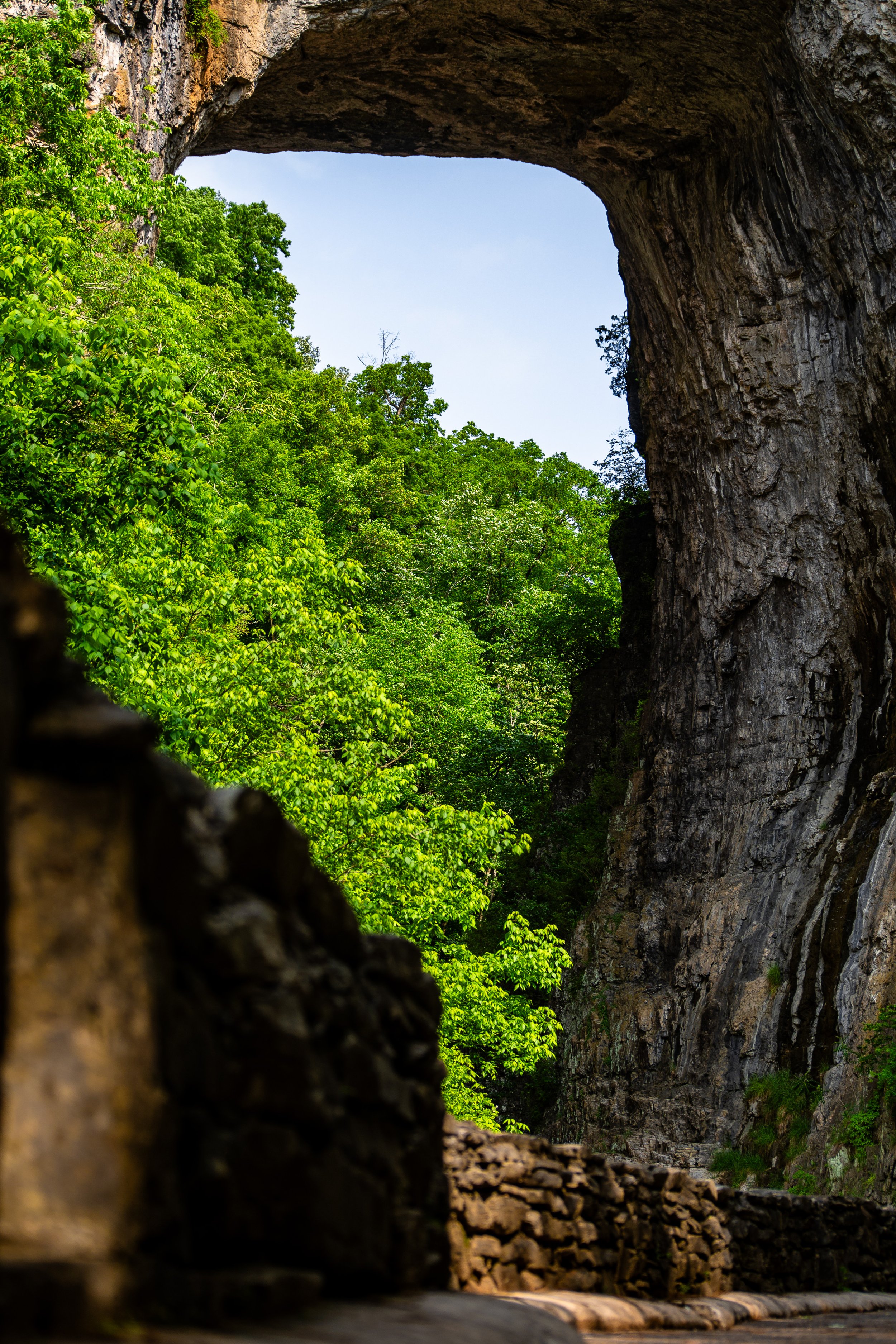
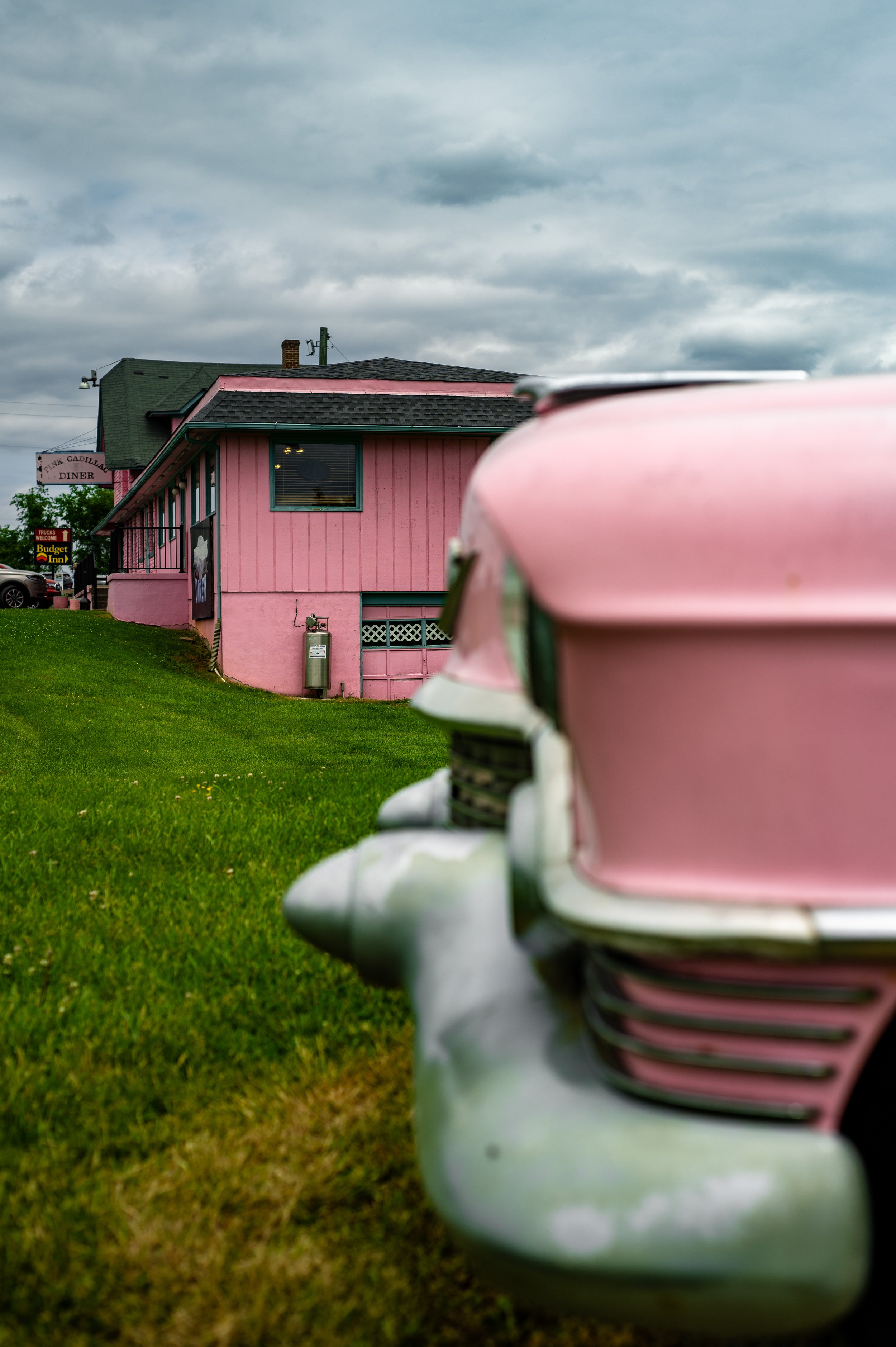
Natural Bridge was someplace we knew we wanted to stop, located at mile marker 62. At the gift shop, we picked up jam; while checking out, the lady at the information desk said we had to check out Layne’s grocery if we liked preserves. We noted that along with a zoo that was close by, but we were hungry now from our previous hike at Natural Bridge. We thought about lunch there but knew that’d be costly and unsatisfying. So we decided to look for local diners around us. We usually do this: look for diners around us as they typically provide an experience of good food at a decent cost. To no surprise, we found The Pink Cadillac. Stopping there for lunch and then stopping at Laynes upon Natural Bridges' recommendation. Opting out of doing the zoo, we decided to do a safari park since we’d seen those viral videos of people losing their buckets in the truck and thought that’d be a good time; little did we know. It was a great time, and I even enjoyed their miniature zoo.
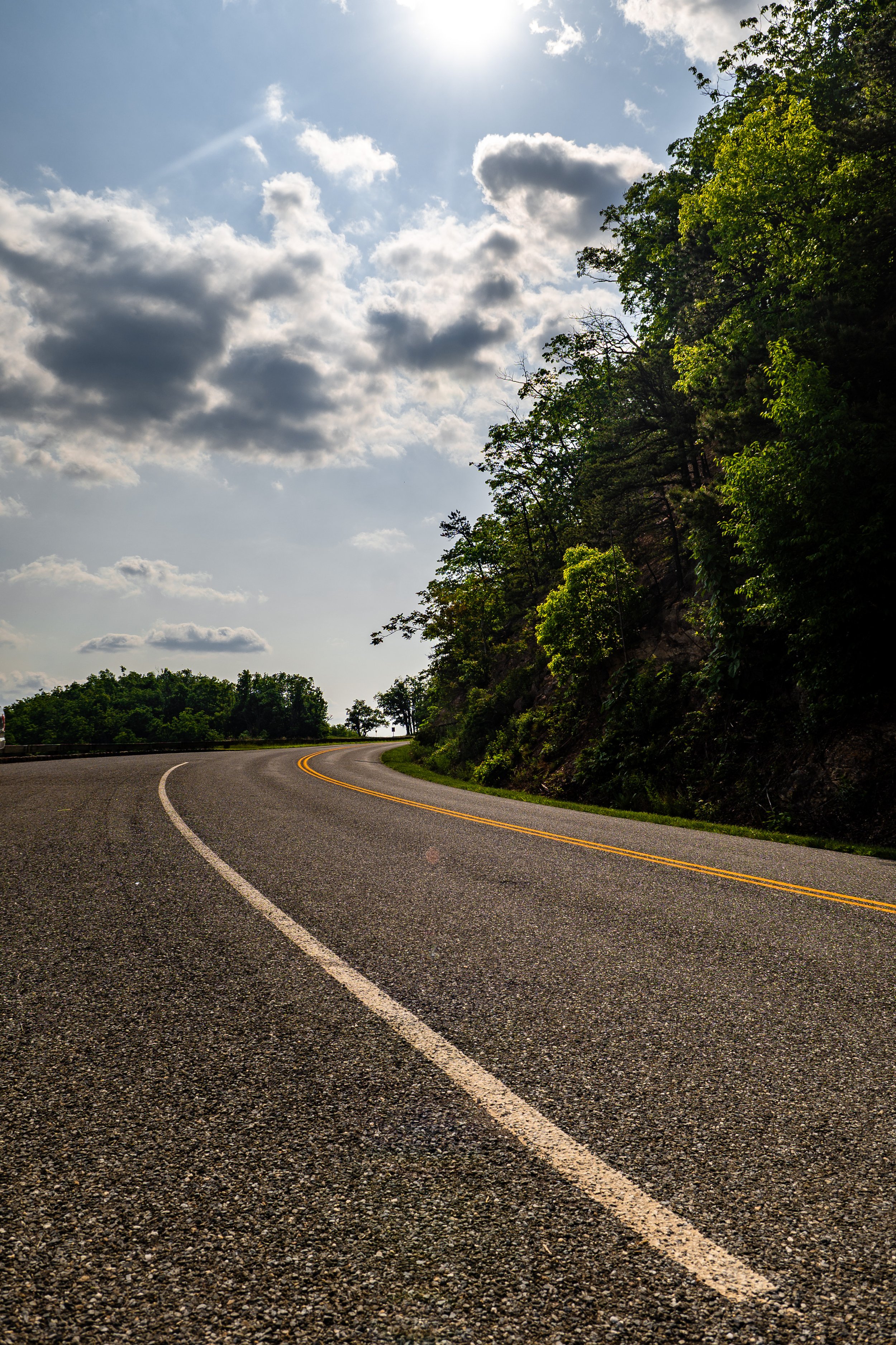
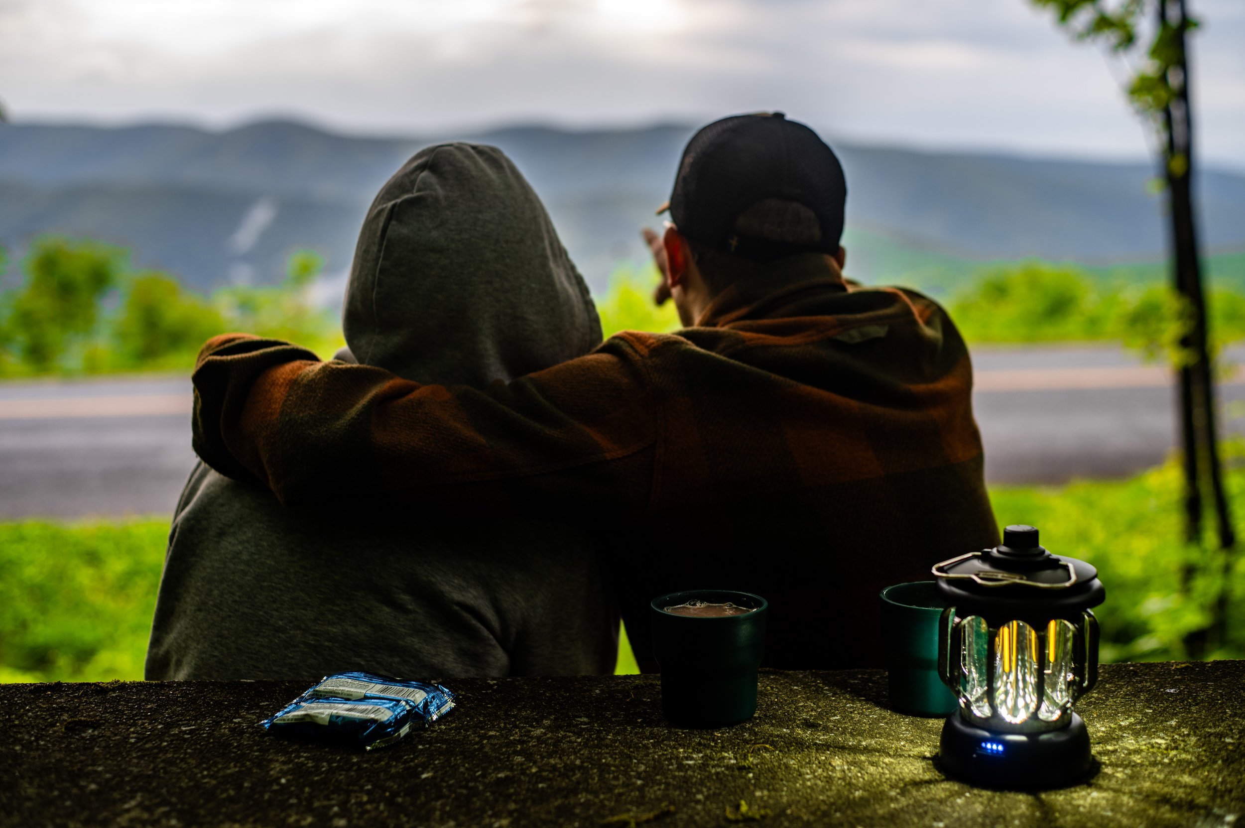
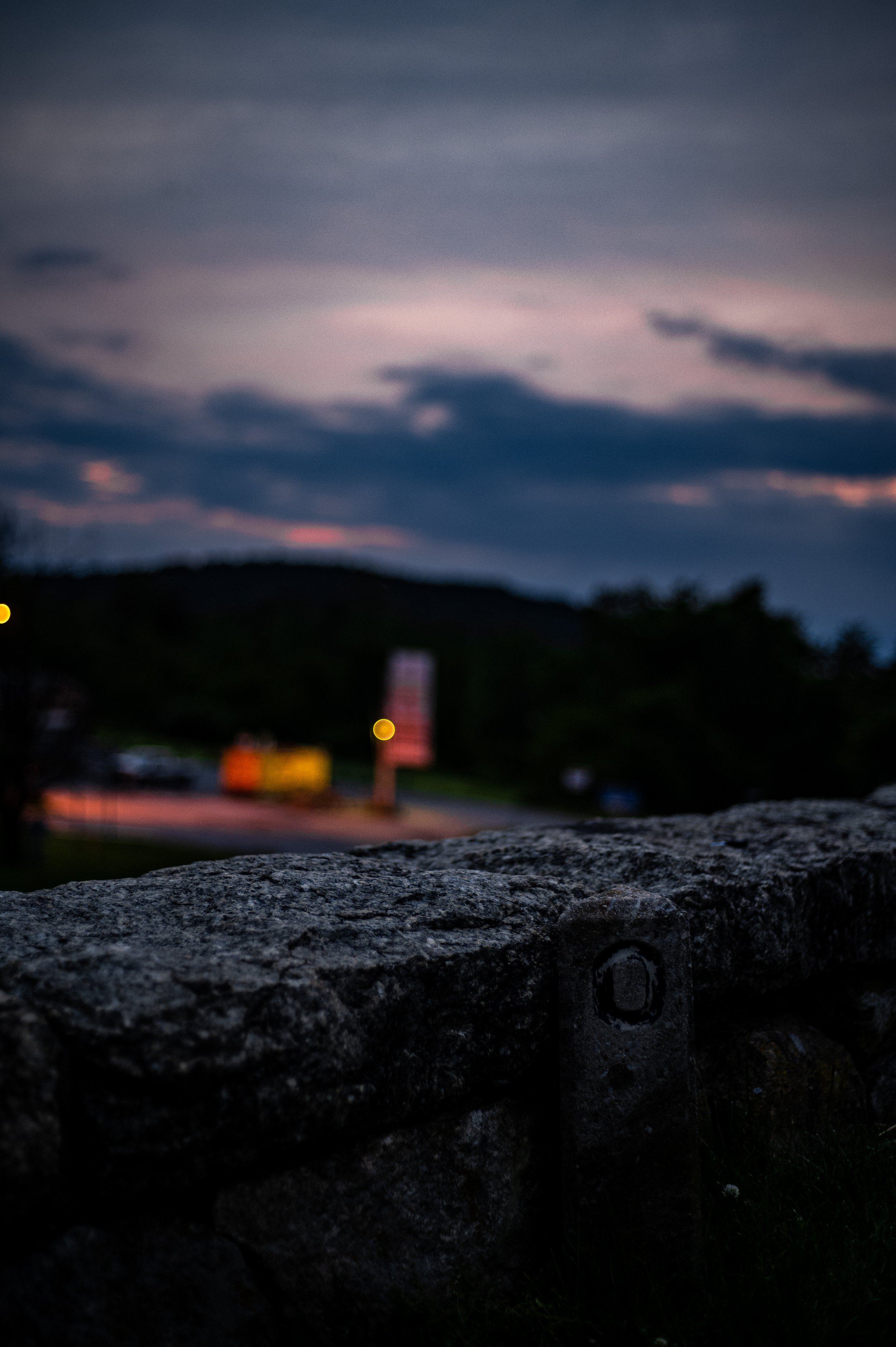
After all the afternoon activities, we stopped at Walmart to consider dinner options for a camp dinner. Arriving back on the drive at mile marker 40, the sun quickly setting, we were frantic to find an overlook with a view of the sunset. We eventually found one and enjoyed a warm cup of hot chocolate. After the sunset, we completed the drive. The realization that the trip was complete, seeing mile marker zero but also having a sense of accomplishment now driving that distance from mile marker 469-0.
https://visitcherokeenc.com/itinerary-builder/poi/park-visitor-center/https://www.blueridgeparkway.org/poi/mount-pisgah/https://www.blueridgeparkway.org/poi/folk-art-center/https://www.ncparks.gov/state-parks/mount-mitchell-state-parkhttps://www.nps.gov/blri/planyourvisit/museum-of-north-carolina-minerals-mp-331.htm#:~:text=Museum%20Of%20North%20Carolina%20Minerals,Parkway%20(U.S.%20National%20Park%20Service)https://www.nps.gov/blri/planyourvisit/tanawha-trail.htmhttps://mabrymillrestaurant.com/https://www.peaksofotter.com/https://www.facebook.com/ThePinkCadillacDiner/


